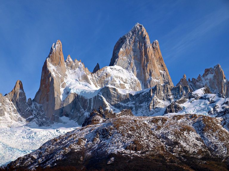
Armenia is the most mountainous country from the South Caucasus republics. Its territory has an average elevation of 1800 meters above sea level, which is almost twice higher than the average elevation of the Asian continent. Even the lowest areas of Armenia are situated at altitudes of 350–400 meters. Occupying a small part of the expansive Armenian Highlands, Armenia mirrors the region’s natural features, including its terrain, climate, and specifications of flora and fauna. The Armenian Highlands are located between the Iranian and Anatolian plateaus and rise approximately 500 meters higher than these neighboring regions, earning it the nickname “mountain island.” When viewed from a bird’s eye perspective the Armenian Highlands will differ with numerous mountain ranges and isolated peaks.
The lowest points on the territory of Armenia are found in the Meghri Canyon and the Debed River Valley. Those lie at altitudes from 370 to 390 meters above sea level. The highest point in the country is the north peak of Aragats, which has an altitude of 4090 meters. This means that within a relatively small area, the difference between the highest and lowest points is around 3700 meters which is huge. This unique feature provides excellent conditions to organize mountain hikes of all possible levels of difficulty.