


MOUNT ARAGATS
Mount Aragats is the highest mountain in the Republic of Armenia. This vast volcanic massif is known for its four main summits, alpine meadows, high-altitude lakes, and spectacular mountain scenery. Its northern summit, rising to 4,090 meters above sea level, is the highest point in Armenia.
Aragats is not only a favorite destination for mountaineers and hikers but also an important part of Armenia’s natural, historical, and cultural heritage. Its slopes attract outdoor enthusiasts, photographers, and travelers eager to discover the country’s high-mountain landscapes.
Geographic Location and the Four Summits of Aragats
Mount Aragats is located in western Armenia, primarily within Aragatsotn Province and the surrounding area. The mountain massif covers approximately 820 km² and is of volcanic origin. Its terrain was shaped by volcanic activity and subsequent natural processes.
Aragats has four main summits surrounding a central crater:
- Northern Summit — 4,090 m. The highest summit of Aragats and the highest point in Armenia.
- Western Summit — 4,001 m. The second-highest summit of the massif.
- Eastern Summit — 3,916 m. Notable for its mountain scenery and rocky terrain.
- Southern Summit — 3,879 m. The lowest of the four main summits and a popular destination for hikers.
The Aragats mountain system extends beyond these four summits. Its slopes and ridges contain numerous additional elevations and volcanic formations, making the massif an interesting subject for geographical exploration and mountain tourism.
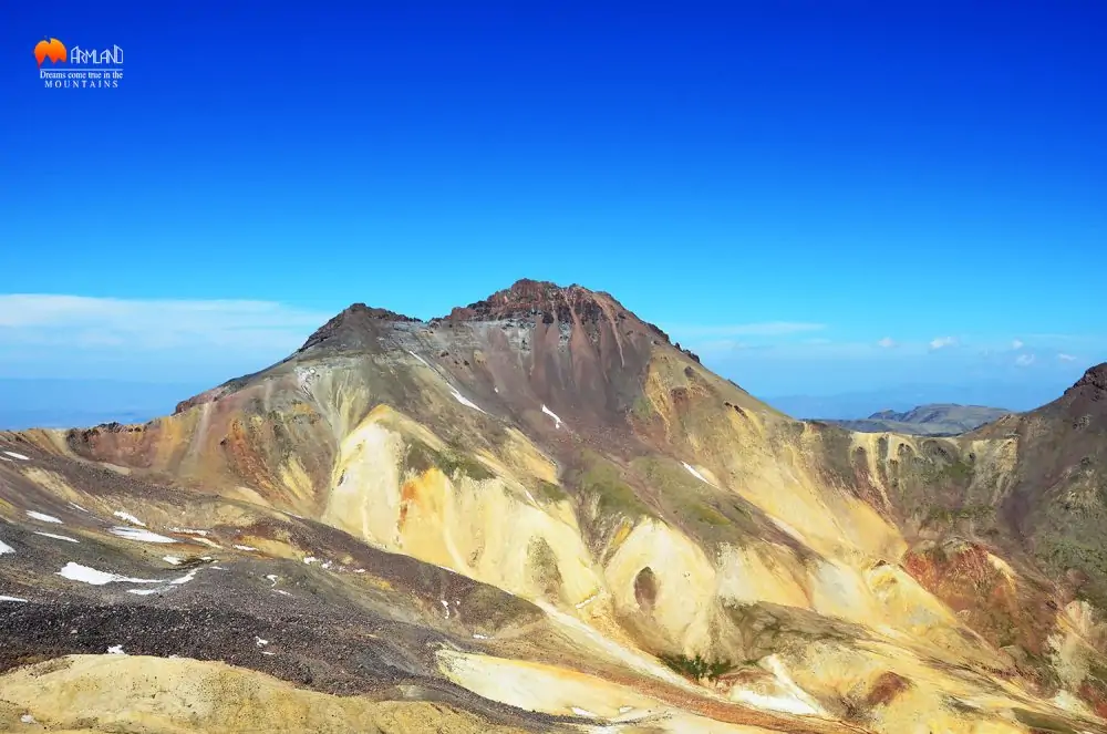
The Nature of Aragats: Volcanic Rocks and Mountain Lakes
The slopes of Aragats feature volcanic rock formations, rocky terrain, and vegetation characteristic of high-altitude environments. Tuff and basalt formations can be found in different areas, displaying a variety of colors and shapes. Over thousands of years, wind, water, ice, and temperature fluctuations have helped shape the mountain’s distinctive landscape.
Vegetation changes with elevation. Lower slopes include grassy areas and mountain pastures, while higher elevations are characterized by alpine meadows and rocky terrain.
One of the best-known natural attractions of the massif is Lake Kari, situated at approximately 3,200 meters above sea level. The lake is a popular stopping point for visitors exploring the highlands and a traditional starting area for hikes toward the southern summit. A cosmic-ray research station associated with the scientific work of the Yerevan Physics Institute is located on its shore.
Other lakes, streams, and waterfalls can also be found around Aragats. One notable attraction is Gegharot Waterfall, which is particularly impressive during the snowmelt season. The waterfall may freeze in winter, while warmer months bring flowing water and scenic surroundings that attract visitors.
The Historical and Archaeological Heritage of Aragats
The area surrounding Aragats has been inhabited since ancient times. Archaeological discoveries, traces of historic settlements, remnants of irrigation systems, and stone monuments known as vishaps provide evidence of the region’s importance to ancient communities in Armenia.
For centuries, settlements around the mountain’s foothills relied on its water resources, pastures, and natural environment. Today, Aragats remains important to nearby communities through its role in agriculture, local livelihoods, and tourism.
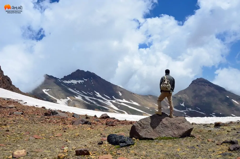
The Fifth Summit of Aragats: A Lesser-Known Story
Aragats is traditionally known as a mountain with four summits. However, some mountaineers identify an additional high point between the northern and western summits, sometimes referring to it as the fifth or unnamed summit of Aragats.
One name proposed by ArmLand mountaineers is Daryan Peak, in honor of Vahram Daryan, whose name is associated with the history of Armenian mountaineering.
It is important to note that this is not a universally recognized geographical name, and the status of this high point as a distinct summit requires further professional verification.
According to descriptions by ArmLand mountaineers, this section of the mountain has difficult and challenging terrain. Without an officially marked route or a verified safe passage, it should not be treated as a standard hiking destination.
Climbing the Summits of Aragats
Aragats is one of Armenia’s best-known destinations for mountain ascents. The choice of summit depends on weather conditions, participants’ experience, physical fitness, and the selected route.
The Southern Summit of Aragats
Elevation: 3,879 m.
The southern summit is the lowest of Aragats’ four main summits and one of the mountain’s popular hiking destinations. The classic route begins near Lake Kari, at an elevation of approximately 3,200 meters.
The trail crosses rocky, high-altitude terrain. Along the ascent, hikers can enjoy views of the central crater and the other summits. On clear days, Mount Ararat may also be visible to the south.
The route’s distance, duration, and difficulty depend on the starting point, weather, and chosen approach. Although the southern summit is often selected as an introduction to high-altitude hiking, it still requires adequate preparation.
The Northern Summit of Aragats
Elevation: 4,090 m.
The northern summit is the highest point in Armenia and one of the most challenging of Aragats’ four main summits. The ascent involves a long hike, rocky terrain, and considerable physical exertion due to the altitude.
Some sections may be steep and technically demanding. It is also important to identify the actual highest point correctly, as hikers on certain approaches may stop at a lower elevation that can be mistaken for the summit.
In clear weather, the highest point offers views of numerous mountains and ranges across Armenia and neighboring regions.
An ascent of the northern summit should be planned with an experienced mountain guide, taking into account the weather forecast, snow and ice conditions, route status, and the group’s experience.
The Eastern and Western Summits of Aragats
The eastern summit, at 3,916 meters, and the western summit, at 4,001 meters, are also interesting objectives for experienced mountaineers. Ascents require careful route planning and a thorough assessment of mountain conditions.
Combining several summits in one expedition may be possible with suitable experience, favorable weather, and careful time management. Reaching all four summits in a single day is a demanding undertaking and should not be presented as a standard route suitable for everyone.
Camping and Acclimatization on Aragats
Camping in the Aragats region can be a memorable part of a mountain adventure. Staying at a high-altitude campsite allows travelers to spend more time in the mountains and begin an ascent early in the morning.
However, sleeping at altitude does not automatically guarantee effective acclimatization. The body’s response depends on individual factors, the rate of ascent, and the amount of time spent at elevation. Campsite selection should take into account access to water, weather conditions, wind exposure, and safety.
Martiros Saryan and Mount Aragats
Aragats also holds an important place in Armenian visual art. In the works of painter Martiros Saryan, Armenia’s natural landscapes, mountain scenery, and symbols of the homeland are often expressed through vivid colors and distinctive forms.
In Saryan’s art, Aragats is more than a mountain: it is a symbol of Armenia’s natural beauty and national identity. Through his paintings, the mountain becomes not only a natural subject but also an expression of hope, continuity, and attachment to the homeland.
The artist’s words about his painting Aragats reflect this perspective:
“My aspiration is to portray our small country, which has passed through terrible calamities and been sanctified by blood and faith, in the tangible reality of its existence.”
Through this artistic vision, Aragats becomes a symbol of the unity between Armenia’s natural beauty and its historical memory.
Discover Mount Aragats with ArmLand
Mount Aragats offers an opportunity to explore Armenia’s high-altitude landscapes, volcanic formations, mountain lakes, and waterfalls. It is also an important part of the country’s historical memory, scientific research, and artistic heritage.
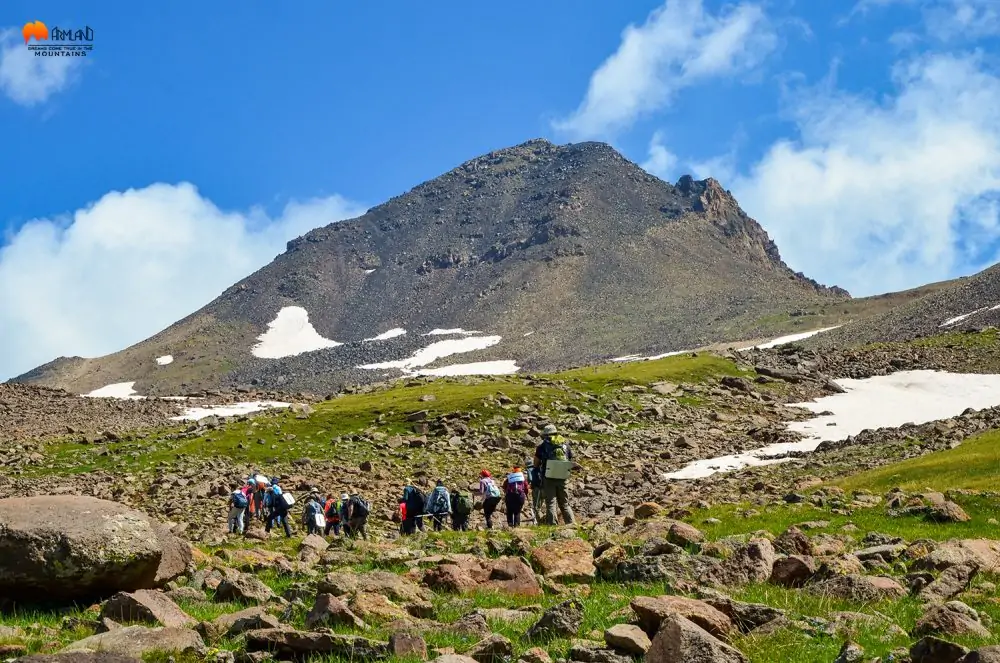
With ArmLand, you can explore hiking routes on Aragats, choose an ascent appropriate to your experience, and discover one of Armenia’s most impressive mountain landscapes.
Choose your summit. We’ll guide you along the way.


