The Transcaucasian Trail
The Transcaucasian Trail (TCT) is an ambitious project to develop an international network of hiking routes across Armenia, Georgia, and Azerbaijan. Once completed, the network is expected to cover more than 3,000 kilometres, connecting mountain ranges, dense forests, volcanic plateaus, deep gorges, and small communities throughout the Caucasus.
The trail is designed not only as a challenge for experienced hikers but also as an opportunity to discover the region through its natural landscapes, history, and culture. Centuries-old monasteries stand alongside alpine meadows, traditional villages give way to remote mountain valleys, and every section reveals a different side of the Caucasus.
Armenia holds a special place in the project. Here, the Transcaucasian Trail crosses several distinct natural environments, from the forests of the northern regions to high-altitude volcanic landscapes and rocky canyons in the south.
In this article, we explore what the Transcaucasian Trail is, which regions it connects, what makes the Armenian section unique, when to plan your hike, and what you should know before setting out.
What Is the Transcaucasian Trail?
The Transcaucasian Trail is an international network of long-distance hiking routes being developed to connect the natural and cultural attractions of the South Caucasus.
The project began taking shape in 2015. Its goals are to improve access to the region’s mountainous areas, develop hiking infrastructure, support local communities, and preserve the Caucasus’s natural and historical heritage.
According to the project’s vision, the completed trail network will extend for more than 3,000 kilometres. It is designed around two major routes crossing the Caucasus from north to south and from east to west.
As of 2025–2026, a significant number of trail sections are already accessible, although the network is still evolving. Some sections have established trails and detailed route descriptions, while others require independent navigation. Certain planned sections remain under development.
For this reason, the Transcaucasian Trail is best understood not as a fully completed route with uniform infrastructure, but as a growing network of hiking trails that offers new opportunities to explore the Caucasus.
How Is the Transcaucasian Trail Different from Other Hiking Routes?
Many popular hiking routes focus on a single mountain region or a journey that can be completed in a few days. The Transcaucasian Trail offers a much broader experience.
Its main attraction is the opportunity to explore different landscapes and cultural regions over an extended journey rather than limiting the experience to one destination or mountain range.
Along the trail, hikers may encounter:
High mountain ranges and volcanic peaks.
Forests, alpine meadows, and mountain lakes.
Deep canyons and rocky gorges.
Ancient monasteries and medieval fortresses.
Traditional villages and remote settlements.
Agricultural landscapes and historic roads.
National parks and protected natural areas.
This diversity makes the Transcaucasian Trail appealing not only to experienced trekkers but also to travellers who want to gain a deeper understanding of the Caucasus, its history, and the everyday lives of its communities.
Where Does the Transcaucasian Trail Run?
The project connects three countries in the South Caucasus: Armenia, Georgia, and Azerbaijan.
Trail development progresses at different rates in each country, so the accessibility and condition of individual sections should always be checked before travelling.
The Transcaucasian Trail in Armenia: Main Sections
For travellers interested in hiking in Armenia, the Transcaucasian Trail offers a particularly rewarding experience. It provides access not only to well-known attractions but also to natural areas that receive fewer visitors.
Four notable sections of the Armenian route are described below.
1. Dilijan National Park: A Journey Through the Forests
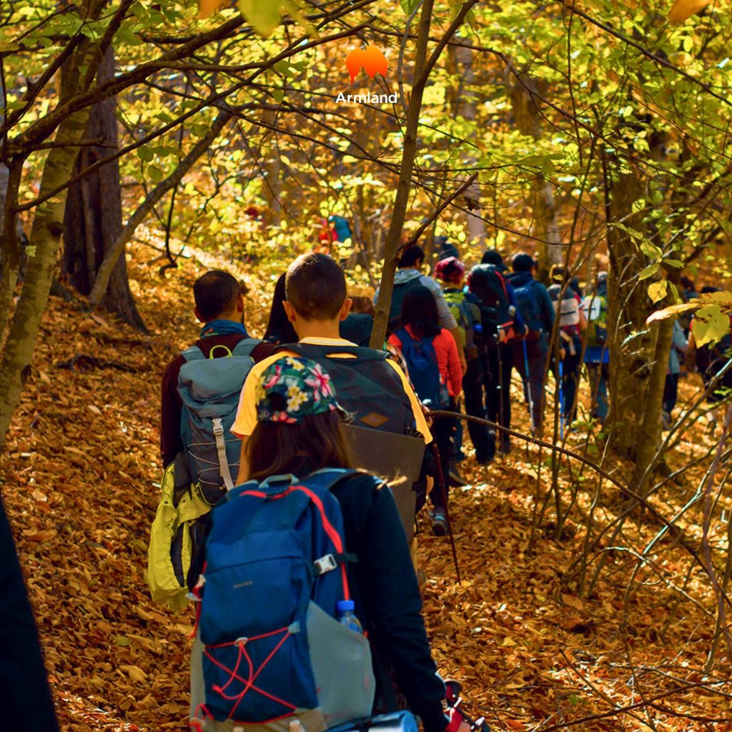
Dilijan National Park is one of Armenia’s most attractive destinations for multi-day hiking.
The route passes through forested areas, rolling hills, and valleys, offering views of the surrounding mountains. Along the way, hikers encounter small settlements, natural attractions, and historical landmarks.
One of the region’s highlights is Haghartsin Monastery, nestled among forested mountains. The wider trail network also provides opportunities to explore the area around Lake Parz and Goshavank Monastery.
The official Transcaucasian Trail guide describes a section of approximately 80 kilometres through Dilijan National Park, usually requiring four to five days to complete.
This route is ideal for travellers who enjoy forest scenery, cultural landmarks, and extended walks across varied terrain.
However, hikers should not assume that the entire route is an easy walk. Steep climbs, challenging river crossings, and sections where the trail is not clearly defined can all present difficulties.
2. The Geghama Mountains: Volcanic Landscapes and Vast Plateaus
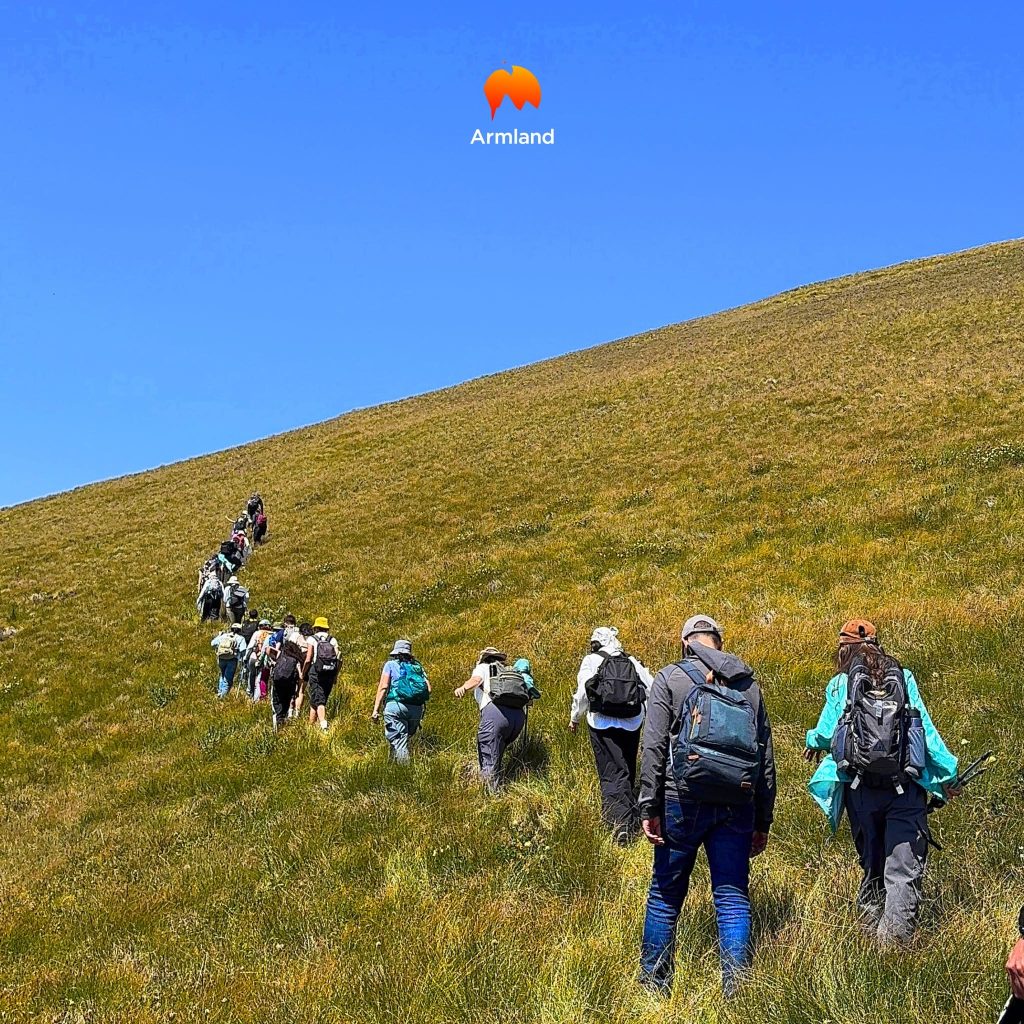
The Geghama Mountains are among the most striking sections of the Transcaucasian Trail in Armenia.
Here, forested landscapes give way to open high-altitude terrain. The route passes volcanic cones, rocky slopes, lava fields, and broad plateaus, with panoramic views of the surrounding mountains.
On clear days, Lake Sevan and Mount Ararat can be seen from certain viewpoints.
The Geghama Mountains are significant not only for their natural beauty but also for their archaeological heritage. The region contains ancient petroglyphs and other traces of human activity dating back thousands of years.
The published route through the Geghama Mountains covers approximately 114 kilometres. Depending on conditions and walking pace, it generally takes five to seven days to complete.
This is one of the more demanding sections of the Armenian trail. Some stretches lack a clearly defined footpath, making navigation skills, adequate water supplies, and preparation for rapidly changing weather essential.
3. Vayots Dzor: Red Canyons and Historic Landmarks
Vayots Dzor offers a completely different landscape.
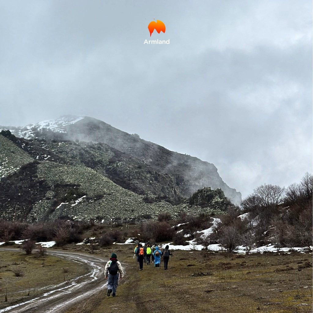
Instead of forested mountains, hikers encounter rocky gorges, open valleys, and striking reddish rock formations. The region is particularly notable for the contrast between its dramatic natural scenery and its architectural heritage.
One of its best-known attractions is Noravank Monastery, surrounded by towering red cliffs. The region also contains other medieval monastic complexes, historic settlements, and monuments connected to ancient trade routes.
Vayots Dzor is also famous for its winemaking traditions. Archaeological discoveries at the Areni-1 cave complex provide evidence of the ancient history of winemaking in Armenia.
The published Transcaucasian Trail section through Vayots Dzor is approximately 181 kilometres long. It generally takes six to seven days to complete, although the actual duration depends on the chosen route and its current configuration.
This region is especially appealing to travellers who want to combine hiking with historical exploration and distinctive geological landscapes.
During warmer months, hikers should prepare for high temperatures on exposed sections. Summer heat can be intense in southern Armenia, making it important to plan departure times and daily walking distances carefully.
4. Syunik: Wild Mountains and Remote Valleys
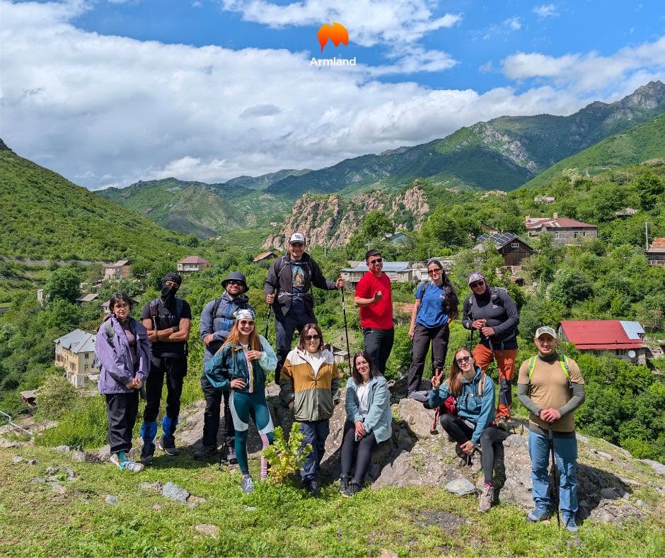
Syunik is one of southern Armenia’s most diverse and rewarding regions for long-distance hikers.
Its landscapes include mountain ranges, deep valleys, forested slopes, and rocky terrain. The trails pass through areas where traditional local lifestyles remain closely connected to nature and agriculture.
Syunik is also rich in historical landmarks. One of the region’s most important attractions is Tatev Monastery, renowned for its architecture and dramatic position above a deep gorge.
Depending on the route, a journey through Syunik may include remote mountain sections, transitions between small villages, and long ascents.
The published Transcaucasian Trail section in Syunik is approximately 150 kilometres long and generally takes eight to twelve days to complete.
Some stretches are far from settlements, so hikers should plan overnight stops, resupply points, and possible exit routes in advance.
Important: These distances and estimated durations refer to published route versions. Exact distances, trail conditions, and completion times may change as the project develops.
How Long Is the Transcaucasian Trail?
Once completed, the Transcaucasian Trail network is expected to extend for more than 3,000 kilometres.
However, it is important to distinguish between the planned total length of the network and the distance that can currently be completed as one continuous route.
The following figures provide a general overview:
| Route or section | Approximate distance or duration |
|---|---|
| Planned total trail network | More than 3,000 km |
| Route through Armenia and Georgia | Approximately 1,540 km along a published through-route option |
| National route in Armenia | Approximately 800–860 km, depending on the route version |
| Dilijan National Park section | Approximately 80 km |
| Geghama Mountains section | Approximately 114 km |
| Vayots Dzor section | Approximately 181 km |
| Syunik section | Approximately 150 km |
Note: Figures are rounded. Official materials may contain different measurements because the route network is continually updated and individual sections are periodically revised.
If you do not have enough time for a long-distance expedition, you can choose an individual section and complete it over several days.
When Is the Best Time to Hike the Transcaucasian Trail?
The best time to hike depends on the region, the elevation of the route, and current weather conditions.
Summer is generally considered the main season for extended hikes along the Transcaucasian Trail. However, late spring or early autumn may be more suitable for certain sections.
How Difficult Is the Transcaucasian Trail?
The difficulty of the Transcaucasian Trail varies considerably from one section to another. Short, established routes may be suitable for people with basic hiking experience, while a multi-week journey requires good physical fitness and the ability to travel independently in remote areas.
Hikers may encounter:
- Long ascents and descents.
- Significant elevation changes.
- Rocky slopes and scree.
- Sections without clearly marked trails.
- River crossings.
- Remote areas with limited mobile phone coverage.
- Sudden changes in weather.
- Limited opportunities to replenish water and food supplies.
On some sections, hikers must navigate independently using GPS data and maps.
Access to medical assistance and search-and-rescue services may also be limited in remote areas.
For a first multi-day hike, it is best to choose a well-documented route with straightforward logistics. If you have little experience travelling independently in high mountain environments, consider hiring a professional mountain guide.
Can You Hike the Transcaucasian Trail Independently?
Yes. Independent hiking is possible on sections for which up-to-date route descriptions and navigation data are available.
The project’s official website provides guidebooks, interactive maps, and GPS files to help travellers plan their journeys.
However, the availability of a GPS track does not mean that every section is equipped, waymarked, or regularly maintained.
Before setting out, you should:
- Choose a specific section and study its route description.
- Download current maps and the GPS track to your device.
- Check seasonal restrictions and trail conditions.
- Plan overnight stops and resupply points.
- Calculate your water and food requirements.
- Prepare appropriate clothing and equipment.
- Inform family members or your accommodation provider of your route and expected return date.
- Identify possible evacuation options and exit routes in case the weather deteriorates.
For remote sections, carrying a backup navigation system and having a reliable means of emergency communication is advisable.
If you are uncertain about your abilities, begin with a shorter route or consider hiring a local guide.
Why Is the Transcaucasian Trail Important for Tourism in the Caucasus?
The project’s significance extends far beyond the creation of a long-distance hiking route.
Developing Ecotourism
The Transcaucasian Trail encourages visitors to explore different parts of the Caucasus, including areas that remain outside the region’s most popular tourist routes.
This creates opportunities for small guesthouses, local guides, family-run cafés, and other businesses involved in tourism.
Protecting Natural Heritage
The development of hiking routes can encourage more responsible ways of experiencing natural environments.
When tourism is managed carefully, it can help reduce pressure on individual popular attractions and distribute visitors across a wider range of regions.
Sustainable tourism also requires compliance with conservation rules, responsible water use, protection of the soil, and proper management of overnight stays and waste.
Supporting Local Communities
Multi-day hikes allow travellers to stay in small settlements, sample local cuisine, buy food from residents, and use services provided by local specialists.
In this way, the trail becomes more than a way to experience nature. It also offers an opportunity to meet the people who live in these regions.
Discovering the Region’s Cultural Heritage
The Caucasus is distinguished by its remarkable diversity of traditions, languages, architecture, and historical heritage.
Along the trail, travellers may discover ancient monasteries, traditional villages, historic roads, and monuments that reflect the region’s long and complex history.
The Transcaucasian Trail allows visitors to experience these places not merely as separate points on a map, but as parts of a broader cultural landscape.
The Transcaucasian Trail is one of the most ambitious hiking tourism projects in the Caucasus. It offers an opportunity to explore three countries through their mountain landscapes, historical monuments, natural environments, and traditional settlements.
For Armenia, the route is particularly significant. It connects the forests of Dilijan, the volcanic landscapes of the Geghama Mountains, the rocky canyons of Vayots Dzor, and the remote mountain regions of Syunik.
You do not need to hike hundreds of kilometres to experience the spirit of this journey. Even a few days on one of the established sections can become a memorable adventure and an opportunity to discover the Caucasus from a different perspective.
Plan your route carefully, choose a level of difficulty that matches your experience, and discover the mountains of the Caucasus one step at a time.