The Chorokh river is one of the largest rivers of the Armenian Highlands. Stretching 438 kilometers it originates on the northwestern slope of the Chorokh mountain range, cuts through the Pontic Mountains, and flows into the Black Sea near the city of Batumi. The catchment area is 19.8 thousand km².
Chorokh is one of the most abundant rivers in the Armenian Highlands. It flows in the spring, during the snowmelt. Its water is fresh, though in spring, the river becomes very muddy, with an annual flow of 10 million tons. The river carries about 13 million tons of material to the Black Sea annually.
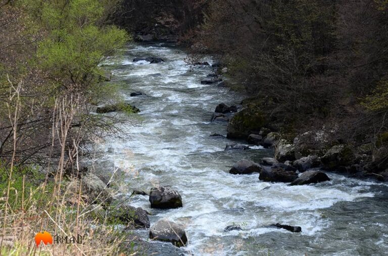
Tributaries of the Chorokh River
The main tributaries of the Chorokhi are the Oltu, Tortum, Berta, and Adjara rivers. Like the Chorokh, its tributaries have created deep gorges. The tributaries are rich in landslides, which are the result of tectonic movements of the earth’s crust. The largest waterfall is located on the Tortum River, standing 40 meters high.
Origin of the Name
Foreigners refer to the Chorokh as Akampsis. In ancient times, it was known as Vokh (Vo), Akampsis, and Pasis. According to historian Hakob Manandyan, it was also called Apsarus. Originally, the river was named Jurugh, a word with a clear structure meaning “flowing water” or “river.” Over time, its pronunciation evolved into Churukh and later Chorokh. Even today, in some Armenian dialects, water is referred to as “Chur.”
Until the 20th century, Armenians in the Chorokh River basin had a well-developed culture and were engaged in crafts and trade. On the Lynch and Oswald map “Armenia and Neighboring Countries”, one can read the names of dozens of Armenian villages near the Chorokh basin. Today, some Armenians remain in the region, though many were forcibly converted to Islam.
In ancient times, the lower reaches of the Chorokh River were sometimes called “Dragon.” Historically, there were once 126 bridges crossing the Chorokh. The locals were able to transport the timber to the estuary by the river.