The Importance of Navigation in the Mountains
Navigation is an essential mountaineering skill that directly affects the success and safety of a mountain expedition.
In general, navigation means determining your current location, identifying directions, and understanding the surrounding terrain.
The traditional method of navigation involves comparing visible landmarks and terrain features with information provided on a map or in a route description.
However, situations may arise when a map, GPS device, or mobile phone is unavailable. Knowing basic navigation techniques and how to respond if you become lost can be crucial for your safety.
PREPARING FOR A HIKE: HOW TO AVOID GETTING LOST
Prevention is always better than trying to find your way after becoming lost.
Before setting out on a mountain hike, follow these recommendations:
- Listen carefully to your guide.If you are participating in a group hike, pay attention to all instructions provided by the group leader. Make sure you understand the route, meeting points, and safety procedures.
- Stay with the group.Never deliberately fall behind or leave the group without informing the guide. If you need to stop, notify the group leader.
- Inform someone about your plans.If you are travelling independently, tell friends or family about your route, starting point, planned destination, and expected return time.
- Study the route in advance.Familiarise yourself with the terrain, important landmarks, possible alternative routes, and potential hazards.
- Identify nearby settlements.Learn the locations of villages, towns, roads, mountain refuges, and other places that could be useful in an emergency.
- Carry navigation equipment.Whenever possible, take a physical map, a compass, and a GPS device. Download offline maps before leaving areas with mobile coverage.
- Prepare for emergencies.Make sure your phone is fully charged and consider carrying a power bank and an emergency communication device when travelling in remote areas.
HOW TO ORIENT YOURSELF WITHOUT A MAP OR PHONE
If you become lost and do not have access to a map or navigation application, the first and most important thing is to remain calm.
Panic can lead to poor decisions, unnecessary movement, and exhaustion. Stop and assess the situation before taking any action.
Several natural signs and environmental features can help you estimate directions. However, these methods are approximate and should never be treated as precise navigation tools.
- Using the Sun
The sun can help you estimate the cardinal directions.
In the Northern Hemisphere, the sun generally appears in the southern part of the sky around local solar noon. At that time, the shadow of a vertical object points approximately north.
In the Southern Hemisphere, the general direction is reversed.
Remember that the sun’s position changes throughout the day, and local solar noon does not necessarily coincide with 12:00 on your watch.
- Using the Stars
At night in the Northern Hemisphere, the North Star (Polaris) can help identify north.
It is located close to the north celestial pole and appears almost stationary while other stars seem to move around it.
In the Southern Hemisphere, the Southern Cross constellation can help estimate the direction of south.
Finding these constellations requires some knowledge of the night sky, and visibility depends on weather conditions and the surrounding terrain.
- Observing the Terrain
Mountain ridges, valleys, rivers, lakes, and distinctive rock formations can serve as natural landmarks.
Compare the visible landscape with what you remember from the route.
If you recognise a mountain peak, valley, or river, it may help you understand your approximate location.
However, never assume that a river or valley will necessarily lead to a settlement or a safe route. Mountain streams can lead into steep gorges, waterfalls, or inaccessible terrain.
- Observing Natural Features
Some environmental features may provide limited clues about direction:
- Moss may grow more abundantly on shaded and humid surfaces, but its distribution depends on local moisture, vegetation, and exposure.
- Snow may remain longer on shaded slopes, often on north-facing slopes in the Northern Hemisphere, although wind and local terrain can significantly affect snow distribution.
- Vegetation growth may differ between sunny and shaded slopes.
These observations are not reliable enough to determine direction on their own.
Important: Moss, mushrooms, grass growth, and tree shapes should never be used as definitive indicators of north or south.
WHAT TO DO IF YOU GET LOST IN THE MOUNTAINS
If you realise that you have lost your way, stop moving forward and follow a clear sequence of actions.
- STOP — Stop, Think, Observe, and Plan
The STOP principle is a useful way to organise your actions:
- Stop:Stop walking as soon as you realise you are lost.
- Think:Calm yourself and consider your last known location.
- Observe:Examine your surroundings and look for recognisable landmarks.
- Plan:Decide on the safest course of action before moving.
Do not continue walking randomly in the hope of finding the route.
- Check the Time and Your Resources
Check the time, the remaining daylight, your water supply, food, clothing, and available equipment.
Assess how much energy you have and whether you can safely remain where you are.
- Assess Your Surroundings
Look carefully at the terrain and identify nearby landmarks, paths, ridges, valleys, water sources, and possible hazards.
Try to remember the last point at which you were certain of your location.
Do not climb to exposed ridges or move into unfamiliar terrain simply to obtain a better view unless you can do so safely.
- Check Communication Devices
Try to contact your group, guide, family, or emergency services.
If you have a mobile phone, remember that emergency calls may sometimes be possible even when your usual mobile network is unavailable.
Send your last known coordinates or location information if possible.
If you have an emergency satellite communicator, use it according to its instructions.
Preserve your phone battery by reducing unnecessary use.
- Listen to Your Surroundings
Pay attention to sounds that may help you identify nearby human activity or infrastructure, such as voices, vehicles, bells, or flowing water.
However, do not move towards a sound unless you can assess that the route is safe.
- Decide Whether to Stay or Move
If you are in a safe location and have already contacted rescuers or your group, remaining in place is generally the best option.
Moving unnecessarily can make it more difficult for rescuers to locate you.
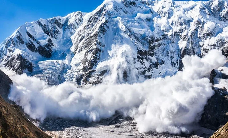
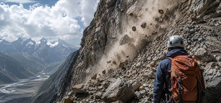
If your current position is dangerous, such as beneath an unstable cliff, in a riverbed, or exposed to rockfall or avalanche hazards, move carefully to the nearest safer location.
Do not attempt to descend unfamiliar slopes or cross dangerous terrain without a clear reason.
- Prepare for the Night
If it becomes clear that you will not reach safety before darkness, prepare to spend the night outdoors.
- Find a sheltered location away from falling rocks, avalanche paths, riverbeds, and exposed ridges.
- Protect yourself from wind, rain, and cold.
- Put on additional clothing before your body becomes cold.
- Use your sleeping bag, emergency blanket, or other available insulation.
- Keep your water and essential equipment accessible.
- Conserve your energy and remain visible to rescuers.
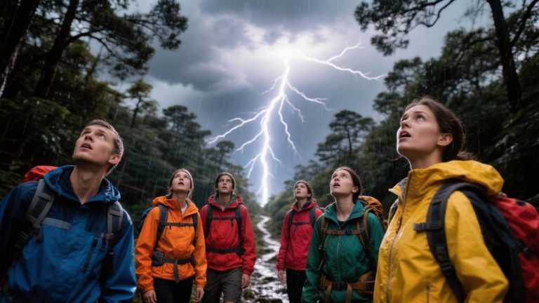
Avoid choosing a campsite beneath unstable rock formations or isolated trees during a thunderstorm.
- Make Yourself Visible to Rescuers
Use bright clothing, a headlamp, a whistle, or other signalling equipment to attract attention.
If possible, make internationally recognised distress signals and respond to calls from rescuers.
If you move from your original position, leave clear indications of your direction of travel when it is safe and practical to do so.
Do not leave your safe location simply to create a trail or search for a route.
- Fire and Emergency Signalling
A fire may provide warmth and help rescuers locate you, but it should only be made when conditions allow and where it is legal and safe.
Never start a fire in dry vegetation, near flammable materials, or during strong winds when it could spread.
A whistle, headlamp, mirror, or emergency beacon is generally a safer and more practical signalling method.
ESSENTIAL NAVIGATION AND EMERGENCY EQUIPMENT
Even if you know how to navigate using natural signs, you should never rely exclusively on them.
For mountain trips, consider carrying:
- A physical topographic map of the area.
- A compass.
- A GPS device or smartphone with offline maps.
- A fully charged phone and power bank.
- An emergency whistle.
- A headlamp with spare batteries.
- An emergency blanket.
- Appropriate clothing for unexpected weather changes.
- Sufficient food and water.
- A first-aid kit.
For remote mountain expeditions, consider carrying a satellite communication device.
FINAL SAFETY REMINDER
Getting lost in the mountains can quickly become a life-threatening situation, particularly when weather conditions change or daylight disappears.
Preparation, awareness, and calm decision-making are essential.
Study your route before departure, carry appropriate navigation equipment, stay with your group, and never continue walking blindly when you realise you are lost. Sometimes the safest decision is to stop, remain in a secure location, and wait for assistance.